


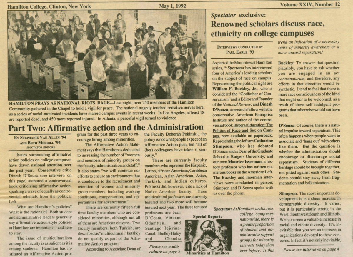


Washington Lands in Kirkland
Local history tells us of the trip George Washington and George Clinton made in July of 1783 from Newburgh to Oneida Lake and back. The exact route they took and whether they may have passed through the Town of Kirkland is not clear. However, later in 1783, Washington and Clinton bought lands in the Town of Kirkland.
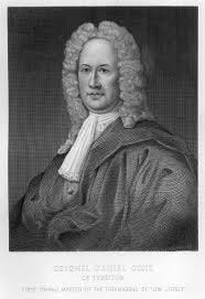
In 1770 Loyalist Daniel Coxe of Philadelphia and his family received a 47,000-acre patent from the Crown in exchange for lands in Carolina that they had been granted previously.
The Coxe Patent stretched from Rome to Bridgewater east along a twenty-two mile stretch of the Fort Stanwix Treaty Line of 1768 in what is now Oneida County. The treaty line divided local lands between colonists and the indigenous population; the colonists were supposed to remain east of the line while the Oneidas and other Iroquois had lands west of it.
In October 1779, the State Legislature passed an act of attainder for treason and confiscated lands in Coxe’s Patent, two shares of which were sold to Col. Marinus Willett. Willett had been a daring and dashing Army officer in the Mohawk Valley during the Revolutionary War and was deputy commander of Fort Stanwix in Rome when Col. Barry St. Leger laid siege in August 1777.
Willett, in turn, resold some 6,071 acres of the Coxe Patent to Governor George Clinton and General George Washington later in 1783. These 6,071 acres were spread out in various sections of Coxe’s Patent and were not contiguous. The lots were in present-day Westmoreland, Paris, New Hartford, Kirkland, and Whitestown.
To these Kirkland lands, we now turn. First, we can quote a letter from Washington to Clinton, dated August 12, 1783, just after the trip to this area: “I am sorry we have been disappointed in our expectation of the Mineral Spring at Saratoga and the purchase of that part of the Oriskany (sic) track on which Fort Schuyler(as Fort Stanwix was then called) stands;, but I am glad you have succeeded upon such advantageous terms in the purchase of 6000 acres adjoining; for you certainly have obtained it amazingly cheap.”
According to Washington’s will, they paid £1,062.5 for the 6,000+ acres. Washington was unable to pay Clinton his half until 1787. By 1793, more than 4,000 of the acres had been sold for a total of £3,400.2 in New York currency. At that time, the lands were in Herkimer County; Oneida County was not formed until 1798.
Washington, a land speculator, also owned land in many other states. He seemed to have other motives as he observed in a letter to Chevalier De Castellucci, dated October 12, 1783: “Prompted by these actual observations I could not help taking a more extensive view of the vast inland navigation of the United States, from maps and the information of others; and could not but be struck with the immense extent and importance of it.”
Washington and Clinton imagined the possibility of a canal across the state in 1783, but it took Clinton’s nephew Dewitt to make the Erie Canal happen in 1825. Thus, the future westward course of a canal connecting the Hudson River with the Great Lakes took its first step.
The Kirkland land involved in the Washington/Clinton purchase was Lot 14 of the 5th division of Coxe’s Patent. It consisted of 316 acres between the Oriskany Creek and the Westmoreland-Kirkland town line in the vicinity of Bristol Road (Route 233), Foote Road, Indianfield Road, Hilldale Drive, and Saunders Road.
So, for seven years that part of Kirkland was owned by Clinton and Washington. Now, many property owners claim parts of those 316 acres.
Remaining as vestiges of this transaction we have “Washington Road,” which connects Norton Avenue and Bristol Road (Route 233) and is one of the shortest roads in the Town. No homes face the road.
Also, a historic marker was set out by the State Education Department in 1936 at the corner of Foote Road and Route 233 which called that area the “Washington Tract” and says those lands were deeded to Nathaniel Griffin in 1790 by Washington and Clinton.